A community used to be defined by its geographic placement on the globe. Communities could be defined by the people on a block, a subdivision, or even a small town. But some interesting info graphics have been created to show that communities extend as far as your phone will call.
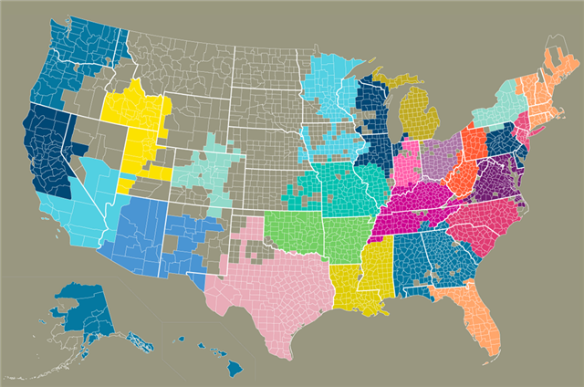
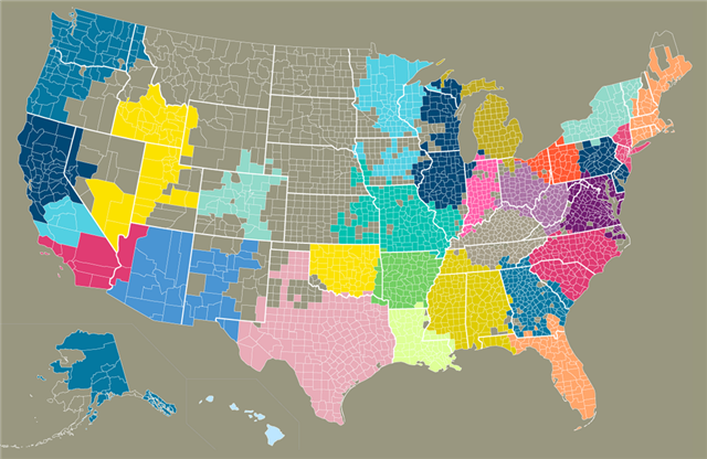
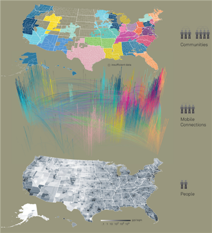
The Connected States of America is a colorful set of illustrations based on mobile penetration, SMS and call communications. There’s a neat interactive map and video to illustrate findings by the MIT Sensible Lab, AT&T and IBM in July 2010. For example, the map shows California can be divided into two or three mobile communities and New Englanders like to call each other frequently.
So what does the mobile data say about your community? Do you agree with the map’s findings?
The Connected States of America:
That! Company is the leader in White Label Social Media Management, delivering social media campaigns and outstanding results for agencies and their clients world-wide. Can we help you? Learn More about our White Label Social Media Services and how we can deliver high impact results for your clients today!
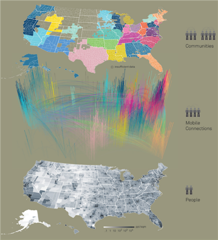
Call Data Community Map:
SMS Data Community Map:
Click the Image Below for the Interactive Map:












 Talk With Us
  Give Some Love


